

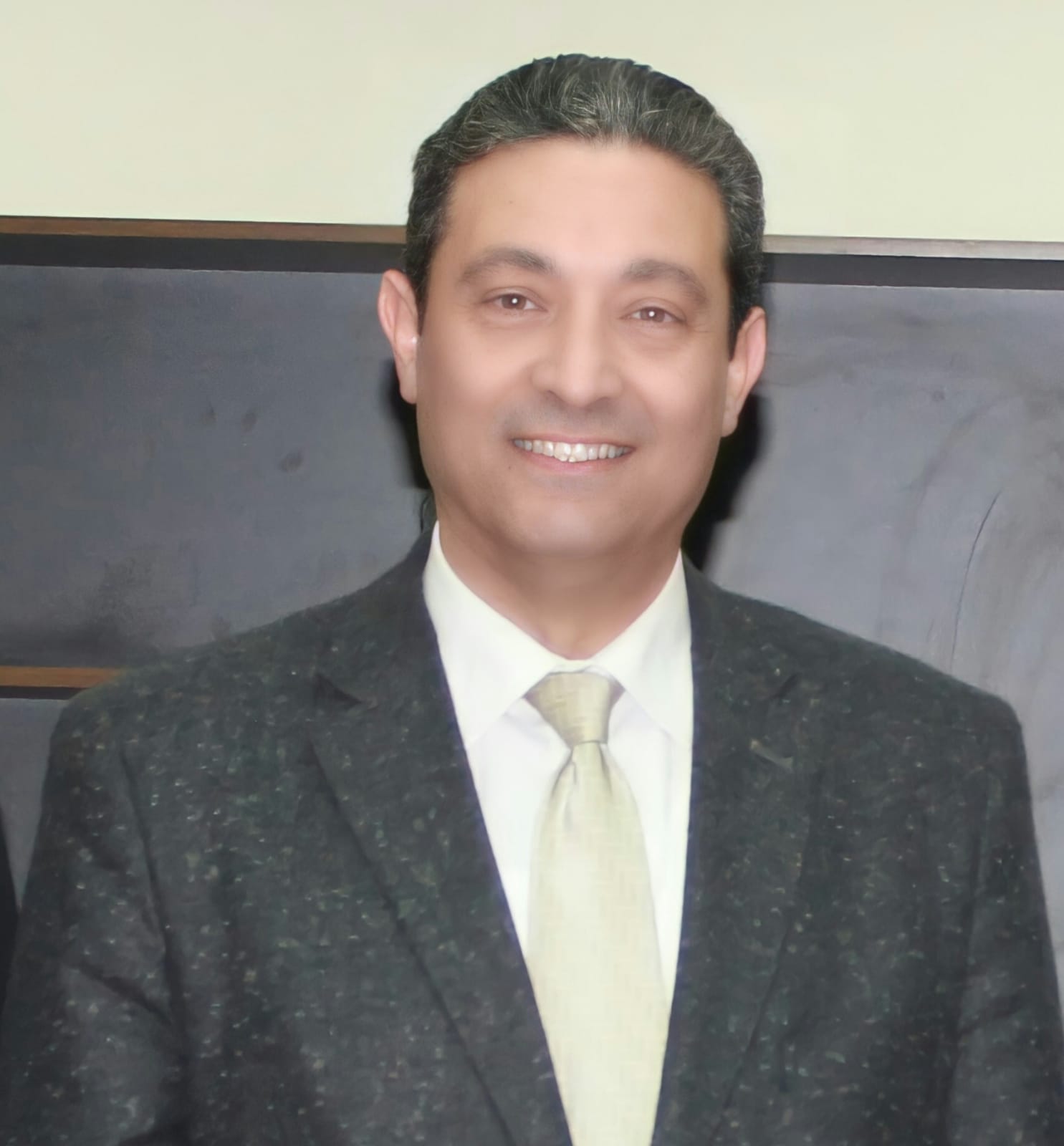
ايمن محمد رشاد الشهابى
أستاذ
DEM & AIRPORTS APPROACHING LANES
EOEI, second international conference on Earth Observation and Environmental Information • 2000
معلومات البحث
المؤلفون
Dr. Eng. Hesham M. A. Gado, Dr. Eng. Ayman M. R. El-Shehaby
الكلمات المفتاحية
DEM, AIRPORTS, orthophotographs
المجلة العلمية
EOEI, second international conference on Earth Observation and Environmental Information
الناشر
Not Available
المجلد
Not Available
العدد
Not Available
الصفحات
Not Available
publication.type
International
رابط البحث
Not Available
المواد المرفقة
Not Available
الملخص
The Aeronatical Survey program of the National Survey provides source airport obsruction data used to develop runway approach procedures, detrmine takeoff weights, and support activities such as aircraft accident investigations. An obstruction is defined as any object, including terrain, that penetrates the FAA Fedral Aviation Regulations (FAR) Part-77 or area navigation approach (ANA) Obstruction Identification Surfaces (OIS). The obstruction data are obtained using field survey and photogrammetric methods.
Recent advancements in remote sensing technologies have introduced new and efficient methods to acquire information about the earth. One such technology currently being investigated by the NGS is Light Detection and Ranging (LIDAR). Over the past twenty years significant progress has been made in the automation of all aspects of photogrammetry. For example, the development of high performance, low cost workstations, and the adventage of digital imagery have made it possible to apply signal processing techniques to the problem of locating conjugate points. This development has created a revolution to create three dimensional surface models and other derived products such as orthophotographs
Recent advancements in remote sensing technologies have introduced new and efficient methods to acquire information about the earth. One such technology currently being investigated by the NGS is Light Detection and Ranging (LIDAR). Over the past twenty years significant progress has been made in the automation of all aspects of photogrammetry. For example, the development of high performance, low cost workstations, and the adventage of digital imagery have made it possible to apply signal processing techniques to the problem of locating conjugate points. This development has created a revolution to create three dimensional surface models and other derived products such as orthophotographs