

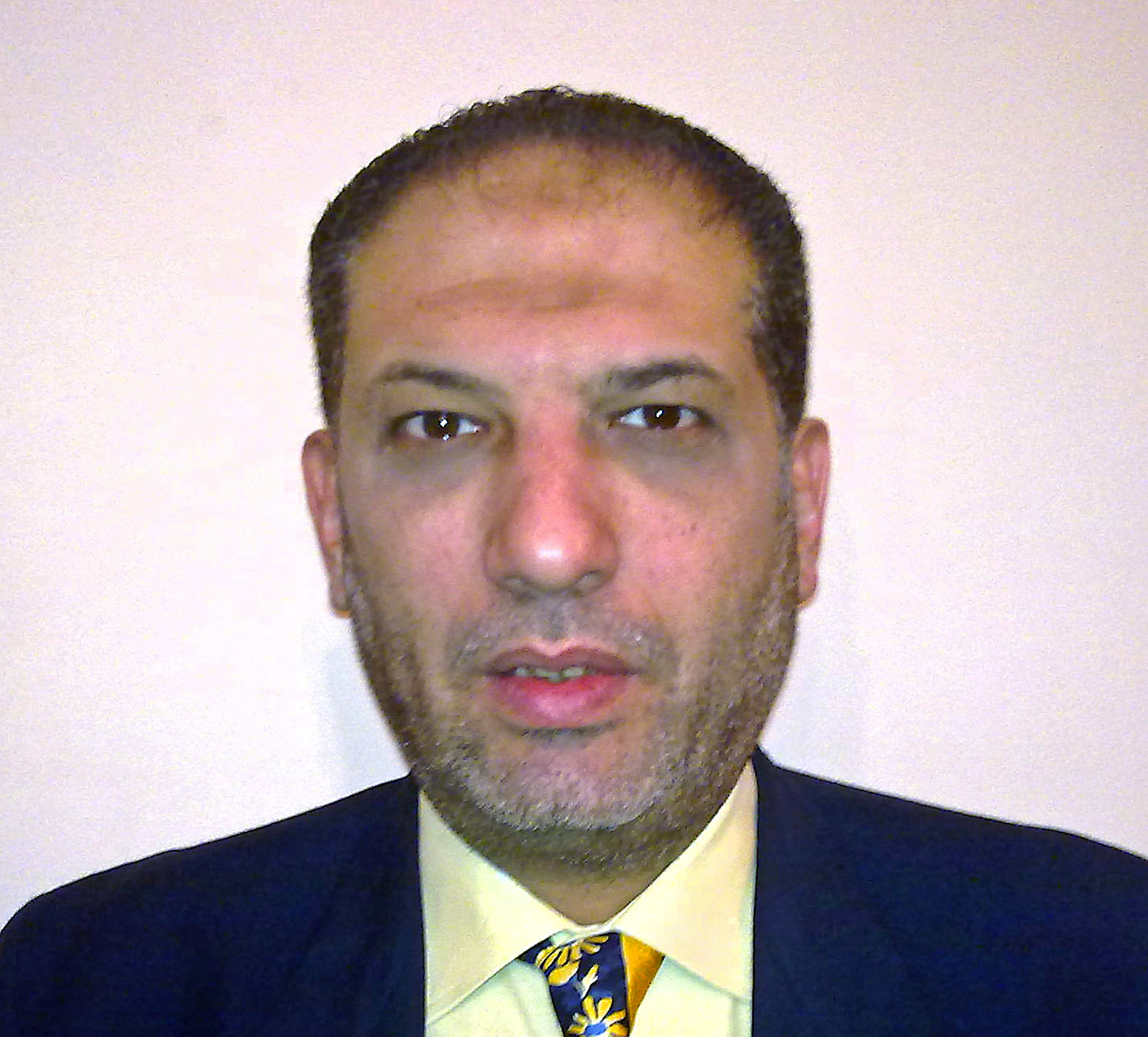
Hossam El Din Hassanein Aly El Semary
Asst. Professor
Supervised MSc
2 Supervised MSc
Use of Satellite Image Change Detection Methods As A Data Source for GIS Applications
Date
In Progress/Completed
Completed
Multiple Digital Maps Generation from High Resolution Stereo-Optical Satellite Imagery
Date
In Progress/Completed
Completed