
☰
أعضاء هيئة التدريس
English
تسجيل الدخول
الرئيسية
المقررات
الأبحاث
الرسايل
تقارير
كتب منشورة
مؤتمرات / ورش عمل
إشراف على رسائل دكتوراه
إشراف على رسائل الماجستير
الإشراف على المشاريع
المؤهلات العلمية
المهارات اللغوية
المناصب
العضويات والجوائز
اللجان
الخبرات
الأنشطة العلمية
روابط داخلية
روابط خارجية
الأخبار
ألبوم الصور
التدريبات
المشاركة فى خدمة المجتمع
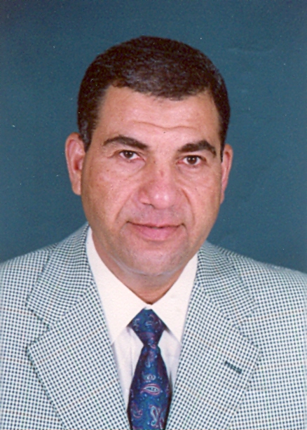
محمود محمد محمود حامد
أستاذ متفرغ
كلية الهندسة بشبرا
الهندسة المساحية
الأبحاث
30 الأبحاث
3D City Model Generation Using Aerial Ortho-Rectified Imagery and LIDAR Data Fusion in Semi-Automatic Way
2017
الملخص
3D model reconstruction from aerial ortho-imagery and LiDAR data
Indian Society of Geomatics
2017
الملخص
Integrating Multiple Classifiers With Fuzzy Majority Voting for Improved Land Cover Classification
2010
الملخص
Combining Statistical and Neural Classifiers Using Dempster-Shafer Theory of Evidence for Improved Building Detection
2010
الملخص
Aerial Images and Lidar Data Fusion for Automatic Feature Extraction Using the Self¬Organizing Map (SOM) Classifier
2009
الملخص
Accuracy Assessment of Modern classification Techniques for Automatic Feature Extraction from very high resolution satellite Imagery
2007
الملخص
Planimmetric accuracy Testing of IKONOS Satellite data for Thematic mapping in SUDAN
2004
الملخص
Using Remote Sensing and GIS Techniques for quick estimation of the Urban Growth in the North Region of KHARTOUM STATE
2004
الملخص
Developing a Geographic Information System (GIS) for north of KHARTOUM STATE
2004
الملخص
Conformal Conversion of plane coordinates using polynomials
2000
الملخص
«
1
2
3
»
مجالات البحث
1 Research Fields
Surveying Engineering
